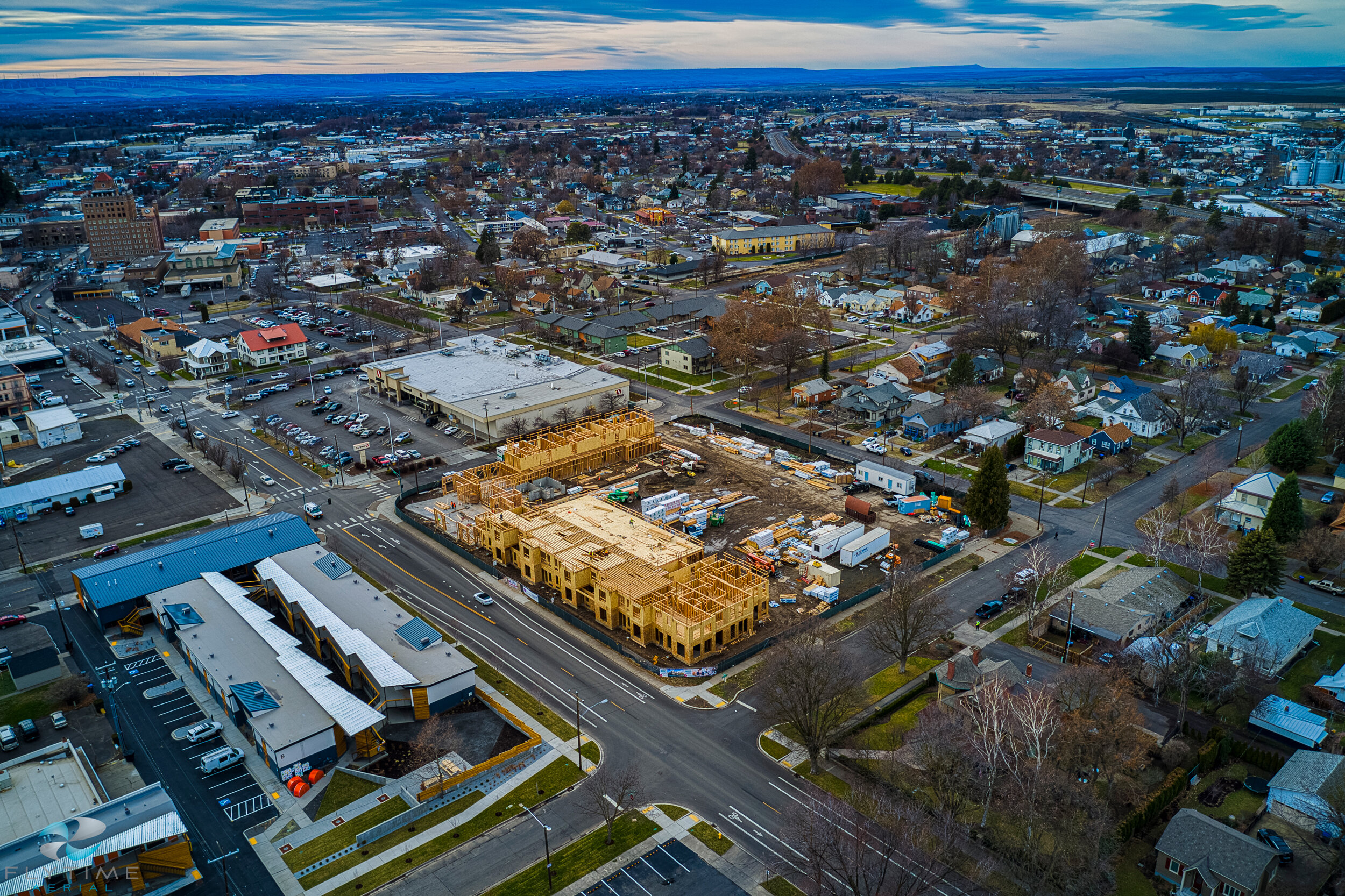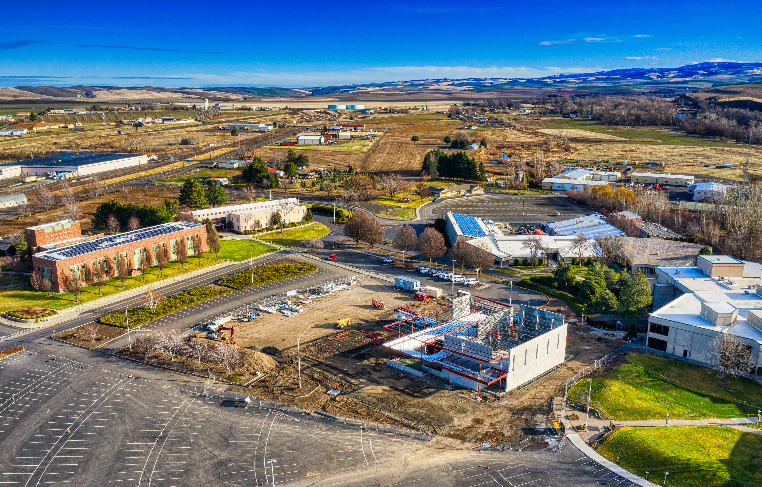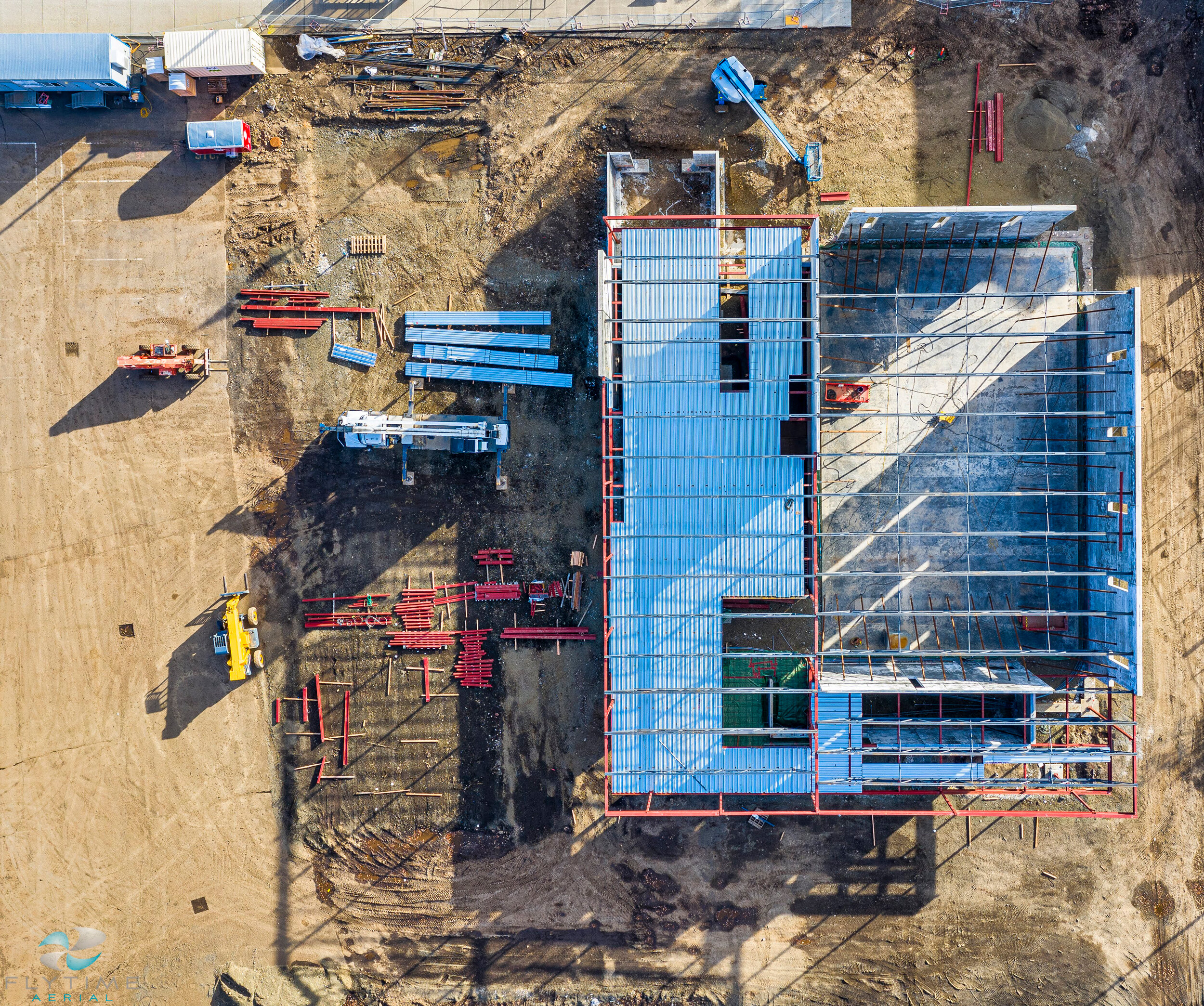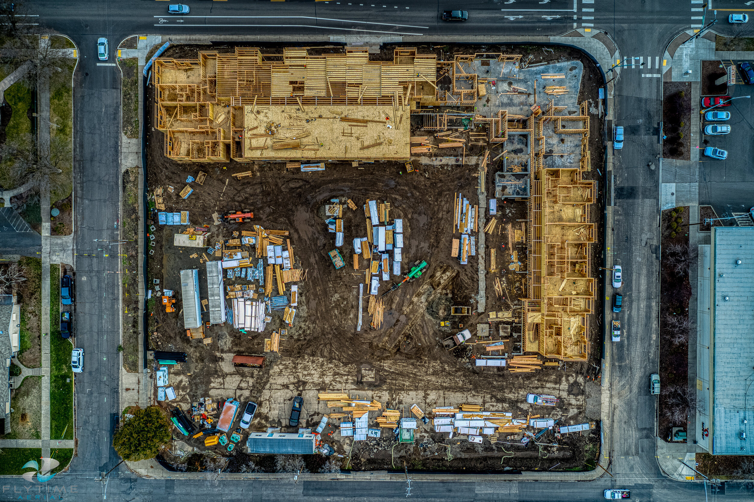
Construction project management
Flytime Aerial provides custom flight options designed to benefit both horizontal and vertical projects. Drones provide many benefits for any worksite from gathering data to risk mitigation. The ability to control jobsite quality is one of the most valuable services we provide. Using UAV technology, we can help projects limit risk, increase worker safety and perform dangerous tasks in a more efficient manner.
Job sites are often very large and with our UAV, we can quickly and efficiently fly the site to gain valuable data. This data can then be sent to multiple parties, often within the same day, to collaborate quickly make valuable decisions. From progress tracking to inspection, our platform can gather a variety of data to allow you to make actionable decisions, saving both time and money.
Benefits and Deliverables
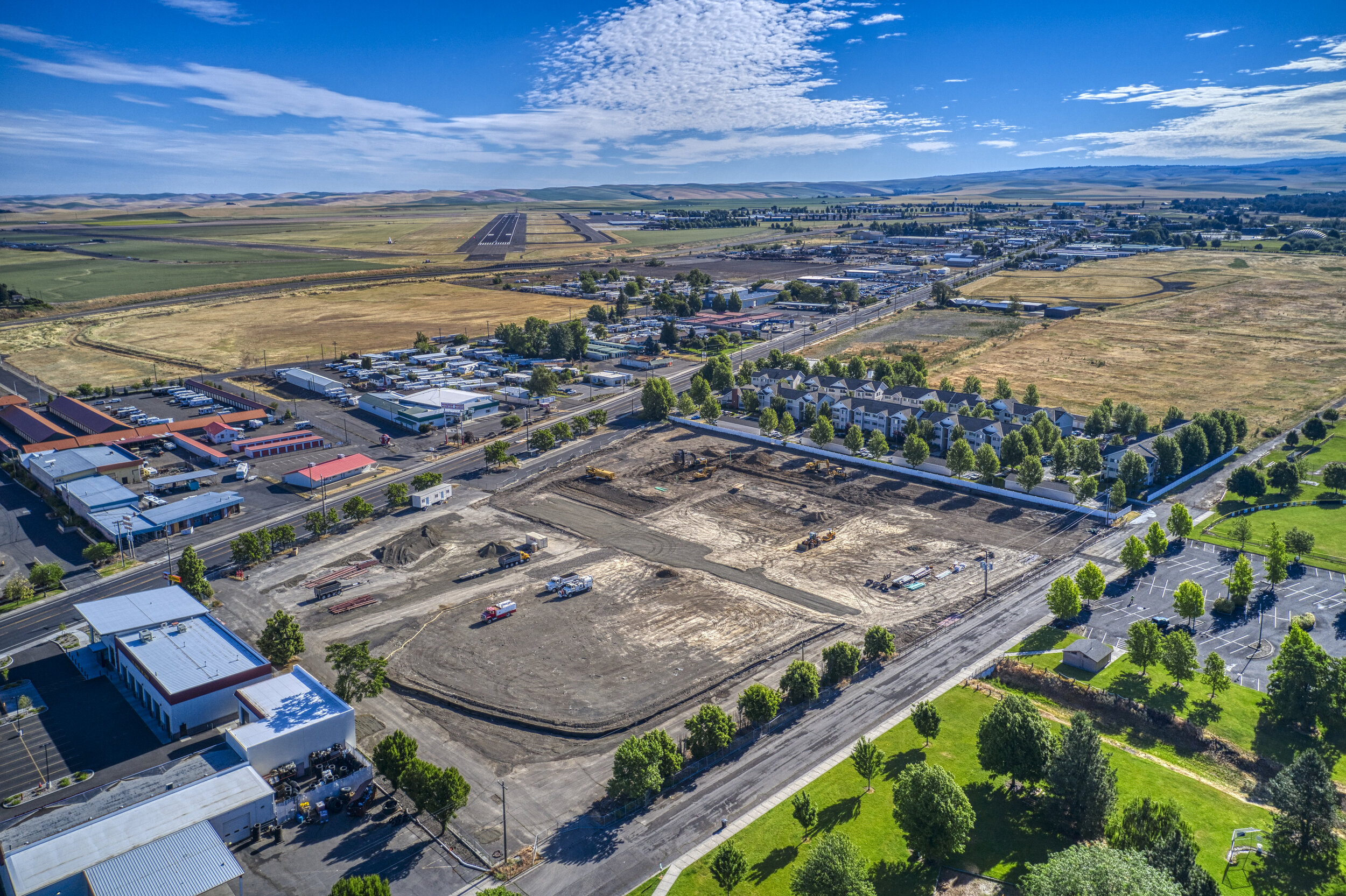
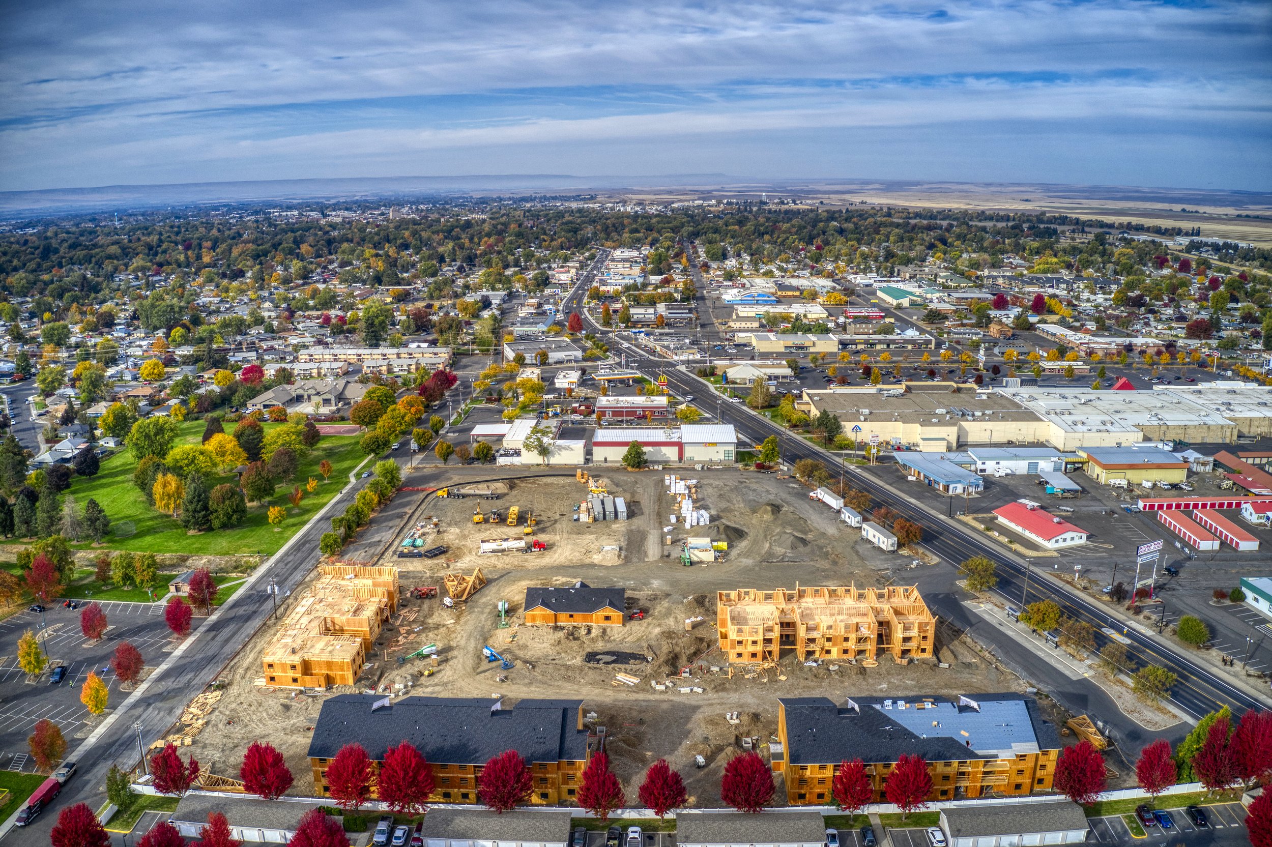
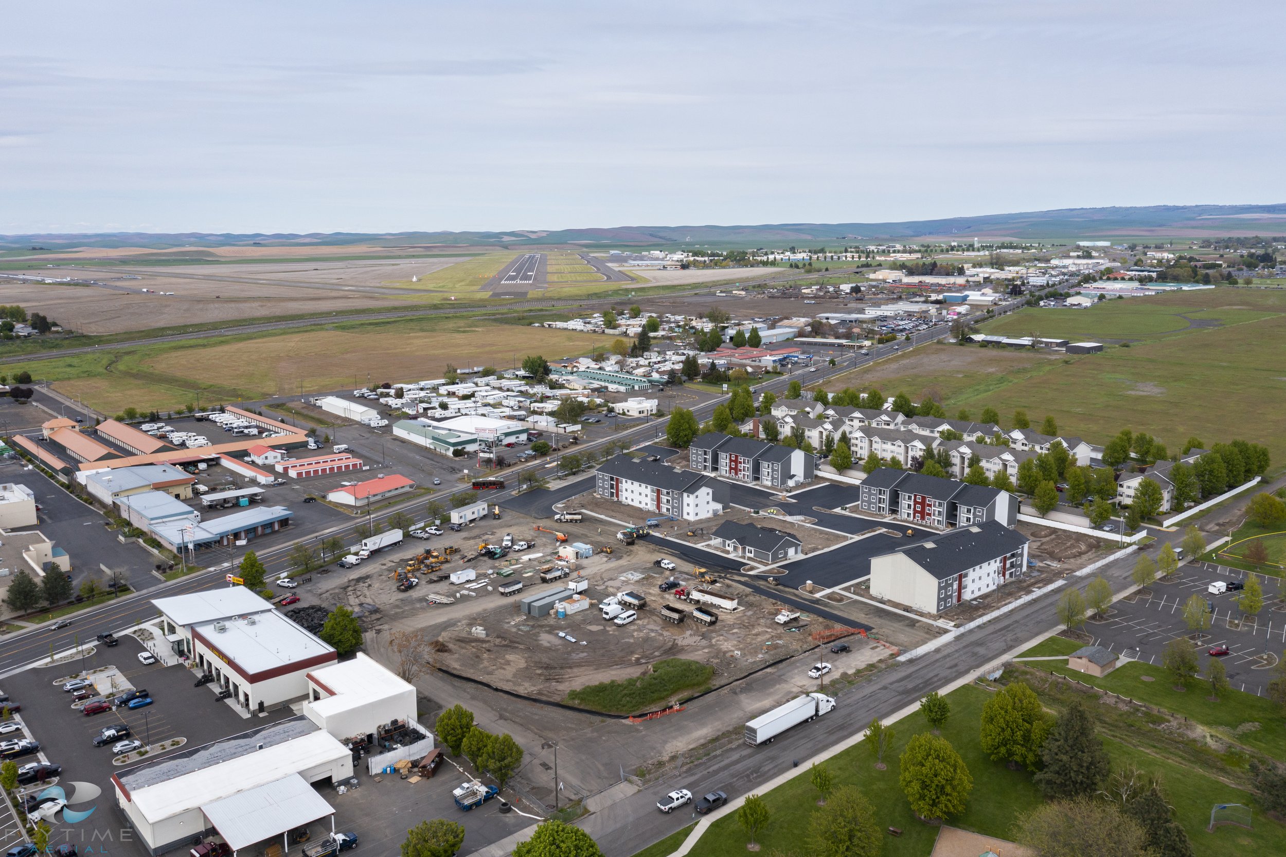
Progression monitoring- Gather data and imaging to share with stakeholders. Monitor projects to ensure timelines are being met, goals are accomplished, and safety is enforced. Projects can be flown weekly, monthly or on an as needed basis to capture aerial video and images.
Mapping- Orthomosaic and 3D photogrammetric models give an in-depth look at a construction site- Orthomosaic maps combine multiple, detailed images, to create a large overall picture. This can be done throughout a project or for pre-planning sessions. This deliverable is a great way to capture real time data.
Time lapse- Images are taken from a set GPS location on a weekly, monthly or customized schedule. These images are put together in video form to show overall progress on the project from start to finish.
Volumetric measuring- Our UAV can fly your site and measure stockpile volume in any area. This data can be gathered and shared to assess volume and amount of material on any site. (no GCPS).
360 Virtual Panorama- Interactive 360 virtual tours of a site can be flown to capture images and video during a project. Share with stakeholders and monitor progress in a 360 degree space. Virtual tours can include video, images and orthomosaic maps over time, to provide a one of a kind progression monitoring tool.
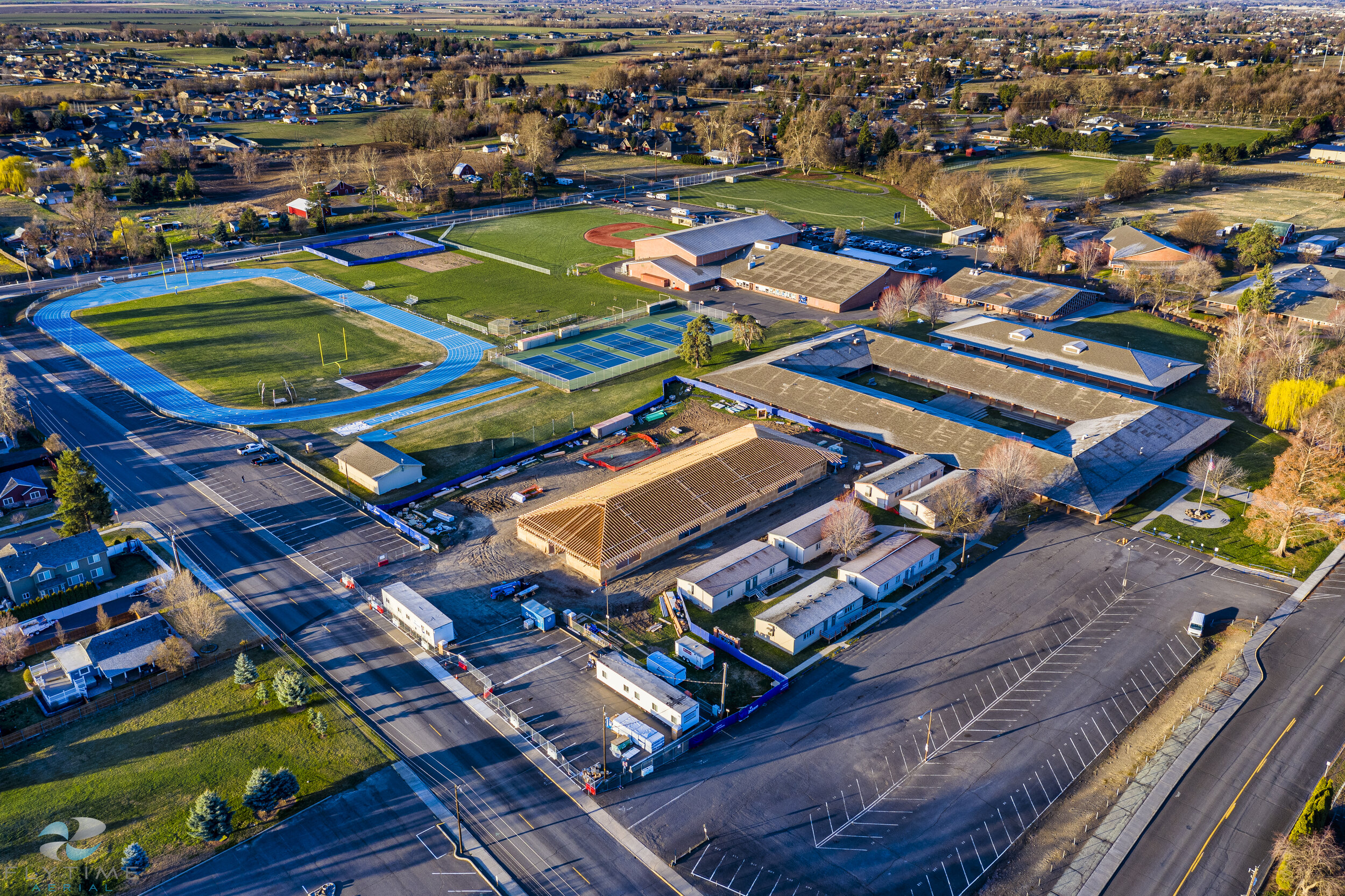
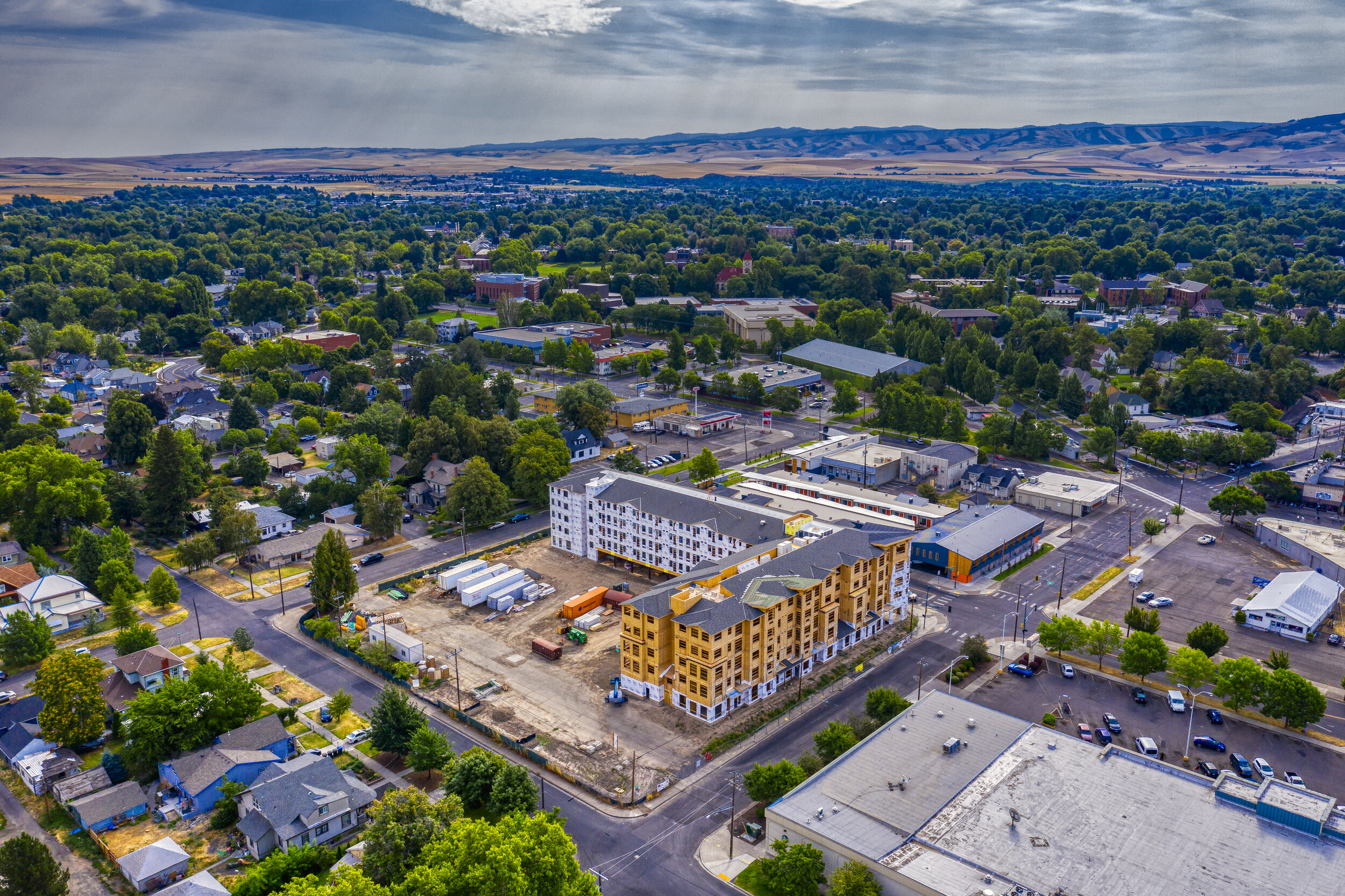
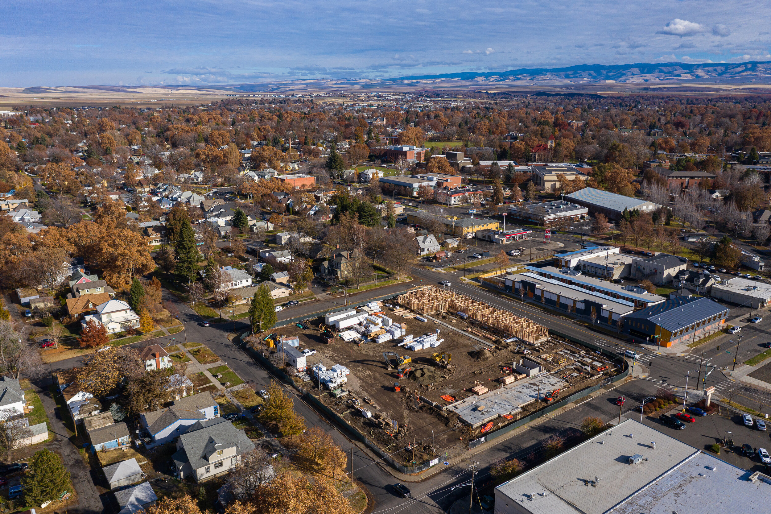
progression imaging
objective
Our client wanted to showcase the construction progress of their project throughout the build. Project managers, contractors and stakeholders were all updated monthly on the project.
FLIGHT
We created a repeatable mission to ensure exact locations were used with GPS waypoints. Images were taken at each side of the project, as well as a number of marketing images. We were able to successfully fly each mission, capturing regular progress updates over the year long project.
deliverable
Images were captured and delivered to the client within 24 hours after each completed flight. Our images were used to show progress throughout the project, as well as to update stakeholders. Images were also used to assess further planning and insurance purposes. We were also able to create a 360 virtual tour, embedding each flight throughout the project.
Aerial mapping
UAV based mapping provides accurate, detailed and up to date orthomosaic maps. Our drones fly a pre planned mission, capturing hundreds of high quality images and data. Aerial maps can then be used to plan projects, monitor progress and detail safety briefings. Orthomosaic maps are similar to Google maps, only updated and specific to your project.
(Data obtained may not be survey grade. Flytime Aerial provides imagery that should be referenced and validated by a licensed surveyor for some projects)


projects